Two pilots. Same launch, same morning. One checks AROME and says "flyable, base at 2800 m". The other checks ICON-D2 and says "overdeveloped by 14h, don't bother". Both are looking at real, respectable forecasts — and they disagree.
If you fly in Europe, sooner or later you'll bump into these two models. They're the state of the art in high-resolution weather forecasting, they cover most of the flyable continent, and they don't always agree. Here's what each one actually does, where each one shines, and how to use them together instead of picking a side.
What "high resolution" actually means
Global models like GFS (NOAA) or ECMWF's IFS run at 9–13 km horizontal resolution. That's fine for continental weather patterns but useless for paragliding: a single grid cell is bigger than most flying areas, so terrain-driven effects — thermals, valley winds, foehn, convergence — get averaged into mush.
AROME and ICON-D2 are what happens when meteorological services run a regional model on top of a global one. They inherit the boundary conditions from the global forecast but zoom in on a specific area with much finer terrain, better convection physics, and hourly output. For pilots, this changes everything: a valley wind that GFS can't see becomes a distinct feature.
The two models side by side
| AROME | ICON-D2 | |
|---|---|---|
| Run by | Météo-France | Deutscher Wetterdienst (DWD) |
| Resolution | 1.3 km horizontal, 90 vertical levels | 2.1 km horizontal, 65 vertical levels |
| Coverage | France, Benelux, W. Alps, Pyrenees, W. Spain, N. Italy | Germany, Austria, Switzerland, Czech Rep., E. France, N. Italy, Benelux |
| Forecast horizon | 48 hours (some runs 51 h) | 48 hours |
| Update cycle | 8 runs/day, every 3 hours | 8 runs/day, every 3 hours |
| Best for | Terrain-driven convection, sea breeze, valley wind detail | Frontal systems, stability trends, larger-scale patterns |
Both are excellent. Both are free to consumer apps via national data portals. Both update every three hours. The interesting differences aren't in the specs — they're in behavior.
Where AROME wins
1. French and Alpine terrain
AROME was designed for French terrain first, and it shows. Its 1.3 km grid resolves individual ridges in the Pre-Alps and Pyrenees that ICON-D2 smooths out. If you fly the Ubaye, the Écrins, Annecy, or the Ariège, AROME will consistently give you more usable detail on where thermals will actually trigger.
2. Sea-breeze detection
Coastal convergence — Mediterranean, Atlantic, Channel — is AROME's strong suit. Its higher vertical resolution near the ground makes it particularly good at picking up shallow density boundaries. If you fly anywhere within 100 km of a French coast, AROME's wind field is worth trusting.
3. Deep convection timing
In summer, thunderstorm development timing matters more than any other forecast variable. AROME tends to be earlier and more accurate on the "when does the day blow up" question, at least in France, Spain, and the Western Alps. If you're planning to be back on the ground before overdevelopment, AROME's convective inhibition curve is a good tool.
Where ICON-D2 wins
1. Germany, Austria, and the Eastern Alps
ICON-D2's home turf. Alps of Salzburg, Kärnten, Osttirol, Slovenia, Czech ridges, the Erzgebirge — this is where ICON-D2's assimilation of local weather stations produces its best output. If you fly in these regions and only look at AROME, you're using a model without local ground truth.
2. Stability trends over 24–48 hours
ICON-D2 tends to be more stable across runs. When you check it Friday for a Sunday flight, then again Saturday, the numbers usually shift less than AROME's. For trip planning where you commit before the flying day, that stability is valuable.
3. Post-frontal recovery
Behind a cold front, air mass changes are fast and messy. ICON-D2's slightly larger grid and different physics package tend to handle the "day after the front passes" better than AROME, especially for base heights and residual instability.
The five variables that matter, ranked
Pilots waste time comparing everything. In practice, only five variables move flight decisions. Here's how each model handles them:
- Wind at flight level (1500–3000 m AGL) — Both models are close. AROME slightly better resolution, ICON-D2 slightly steadier across runs. Practical tie.
- Surface wind (10 m) — AROME wins in complex terrain because of finer grid. ICON-D2 wins in flat terrain and for large-scale synoptic wind.
- Thermal strength / W* — AROME tends to run slightly higher W* than ICON-D2 for the same day. Neither is systematically "right"; calibrate against your own site.
- Cloud base — Both models are within ±200 m most of the time. When they diverge by more than that, treat the day as high-uncertainty.
- Overdevelopment / CAPE — AROME slightly earlier, ICON-D2 slightly later. Best practice: trust the earlier one. Better to land 30 minutes too early than 5 minutes too late.
How to actually use both
1. Know which one is native to your site
If you fly France, Benelux, W. Alps, Pyrenees, W. Spain — start with AROME. If you fly Germany, Switzerland, Austria, Czech Rep., E. Alps, Slovenia — start with ICON-D2. Use the other as a sanity check.
2. Agreement is a green light
When both models give you the same story — same base, same switch-on time, same wind direction — you can trust the day. This is the highest-confidence forecast setup in European paragliding.
3. Disagreement is a yellow light
When they diverge significantly, don't pick the "better" one. Pick the more conservative one, plan for that scenario, and treat the flight as exploratory. The models are telling you the atmosphere is at a decision point.
4. Log which one was right
After each flight, note what the day actually did — base, wind, overdevelopment timing. Compare to what each model predicted. Over a season you'll build a personal calibration: "AROME over-predicts base at my home site by 200 m in June" is priceless information you can't buy anywhere.
What about the global models?
GFS and ECMWF still have a role — but not for day-of decisions. Use them for trend forecasting beyond 48 hours. AROME and ICON-D2 don't run past two days out. If you're planning a trip a week away, look at ECMWF for the pattern, then wait for the high-res models to sharpen the picture as the day approaches.
Don't try to fly off GFS on the day of. Its 13 km grid can't see your ridge.
See both models blended for your site
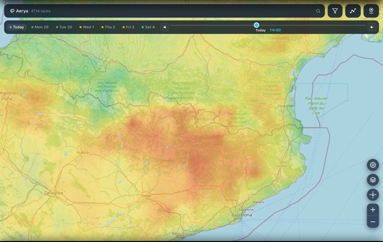
Free on iPhone. Aerya picks the right high-res model automatically depending on where you are, so you don't have to open two forecast tabs.
Download for iPhone →